
Visión general
DISEÑA TUS MAPAS DESDE CERO CON ARCGIS
El presente curso ayuda a los profesionales a incorporar las terminologías del software ArcGIS y las nuevas herramientas intuitivas para completar eficientemente proyectos de mapeo, edición, geoprocesamiento y análisis.
¿QUÉ VERÁS EN EL CURSO?
- EMPAQUETAMIENTO DE DATOS GIS
- GEORREFERENCIACIÓN
- EDICIÓN
- GEODATABASE
- ANOTACIONES CON GDB
- DOMINIOS Y SUBTIPOS
- INTRODUCCIÓN A NETWORK ANALYST
- MANEJO DE ARCHIVOS CAD EN ARCGIS
REQUISITOS
- Tener una computadora o Laptop
- Tener acceso a internet
- Tener muchas ganas de aprender
¿PARA QUIENES VA DIRIGIDO ESTE CURSO?
- Si eres profesional en ciencias de la tierra (Ingenierías o carreras a fines)
- Si eres estudiante en ciencias de la tierra (Ingenierías o carreras a fines)
- Aficionado al manejo de programas
Programa
- 8 secciones
- 8 lecciones
- 108 semanas
- SESIÓN 011
- SESIÓN 021
- SESIÓN 031
- SESIÓN 041
- SESIÓN 051
- SESIÓN 061
- SESIÓN 071
- SESIÓN 081
Instructor
Te podría gustar


2026/36 ARCGIS ONLINE
Adquiere las habilidades necesarias para cargar datos, publicarlos como capas web, aplicar simbología profesional y configurar mapas interactivos, todo desde el navegador. Aprende a realizar...
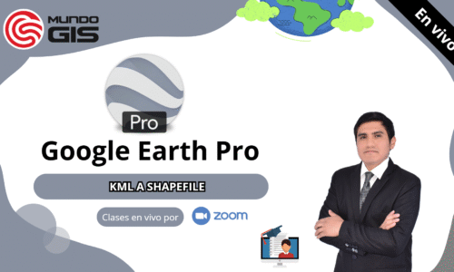
2026/35 GOOGLE EARTH PRO (KML a SHAPEFILE)
Adquiere las habilidades necesarias para crear y editar polígonos, líneas y puntos en Google Earth Pro, exportar la información en formato KML/KMZ, y convertirla a...
2026/34 GOOGLE EARTH PRO (KML a SHAPEFILE)
Adquiere las habilidades necesarias para crear y editar polígonos, líneas y puntos en Google Earth Pro, exportar la información en formato KML/KMZ, y convertirla a...
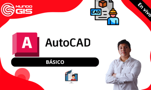
2026/33.01 AUTOCAD BÁSICO EN VIVO
Empieza a diseñar tus propios mapas usando AutoCAD, donde aprenderemos desde cero con clases en vivo por Zoom y si tienes alguna duda puedes realizar...
2026/32 GOOGLE EARTH PRO (KML a SHAPEFILE)
Adquiere las habilidades necesarias para crear y editar polígonos, líneas y puntos en Google Earth Pro, exportar la información en formato KML/KMZ, y convertirla a...

Características del curso
- Conferencias 8
- Cuestionario 0
- Duración 108 semanas
- Nivel de habilidad Intermedio
- Idioma Inglés
- Estudiantes 31
- Evaluaciones Si